Home / Mountains / Mount Aizu-Komagatake
Mount Aizu-Komagatake 会津駒ヶ岳
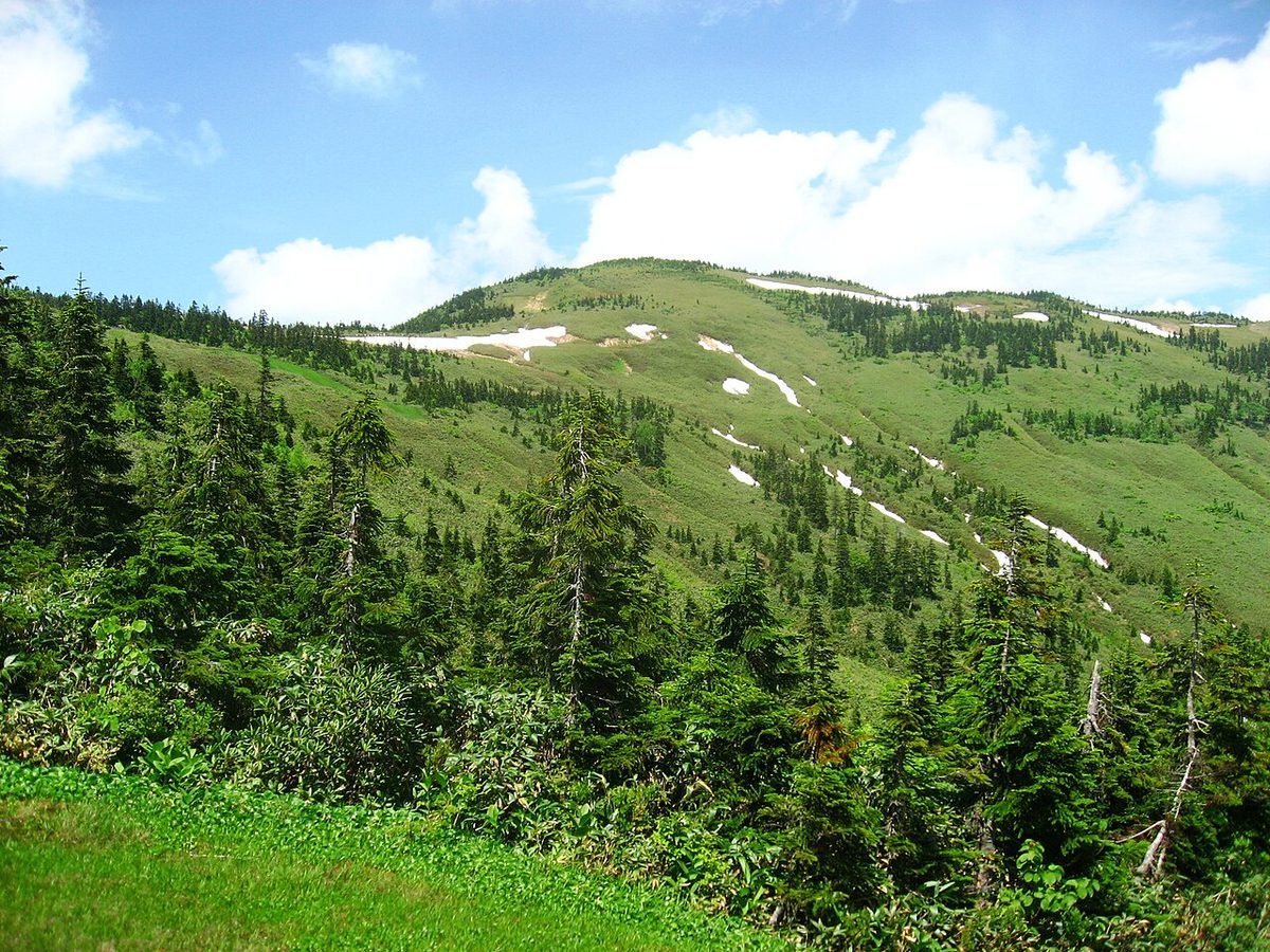

| Elevation | 2,133 m (6,998 ft) |
|---|---|
| Location | Fukushima, Japan |
| Region | Tohoku |
| Famous Mountains list | No. 23 of the 100 Famous Japanese Mountains (Nihon Hyaku-meizan) |
| Coordinates | 37.04694° N, 139.35389° E |
Set up at first position. I'm used to being known by the name of a Japanese character. It's just that it's often called a "gay-sama." One of the the 100 Famous Japanese Mountainss of Akita Kuryu. It's also been chosen by the Takaya Tanaka to serve as a hundred new flowers.
Overview
The line to the central gate, located in the northwest, has almost flat terrain and has many ponds. Also, the top of the mountain is not clear because the mountains are so small. The appearance of snow in the form of pieces during the snowtime "is attributed to the name of the mountain. In "The Unificational Fabrics," which was compiled during the Edo period's cultural year, there is an ant by this name. On August 30th (in 2007) when Suse National Park was separated from Sunland National Park, it was set up as a new national park as part of ZZQQ003X. In particular, the summit of the mountain has become a special protected area for See National Park from the humid landscape. It's an ancient mountain of faith, and there's a Shinto shrine in the Inan district of Tsukimura and Nanjo.
Text adapted from the Japanese Wikipedia article 会津駒ヶ岳, whose full text was translated into English for this guide by its contributors, licensed CC BY-SA 4.0. Elevation and location facts cross-checked with Wikidata (CC0) and the 100 Famous Japanese Mountains list (Japanese Wikipedia, CC BY-SA 4.0).