Home / Mountains / Mount Amakazari
Mount Amakazari 雨飾山
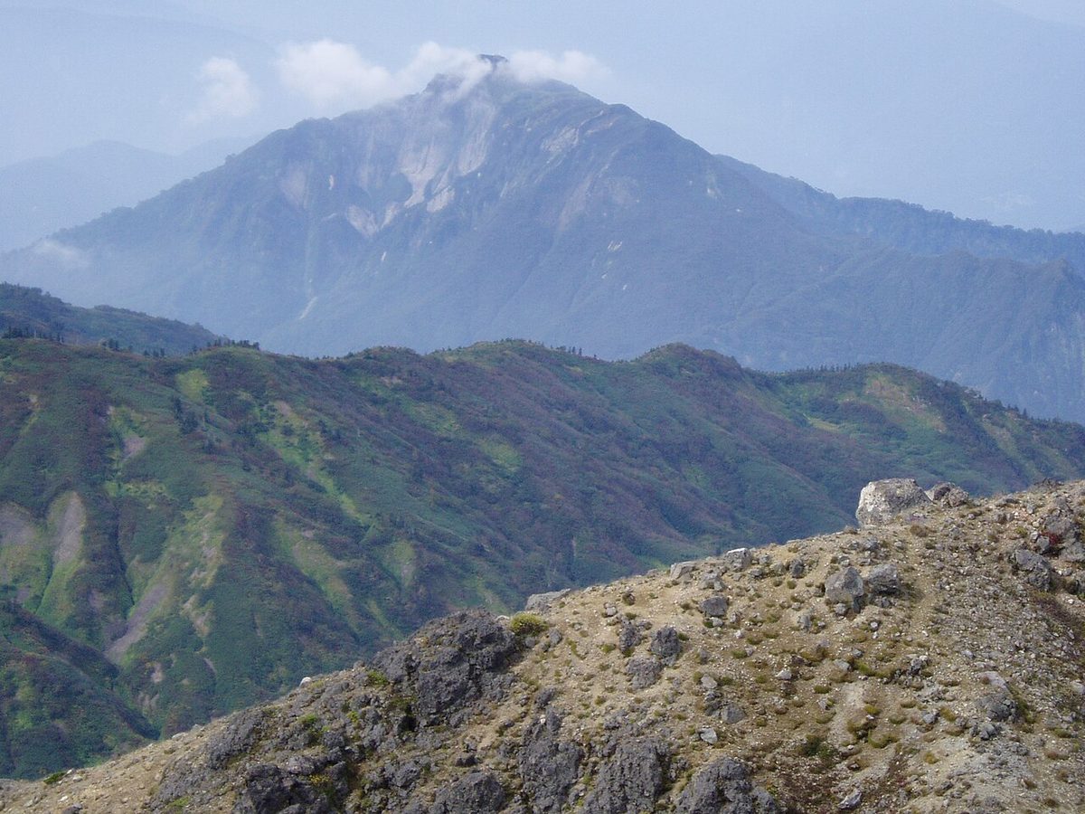

| Elevation | 1,963 m (6,440 ft) |
|---|---|
| Location | Niigata, Nagano, Japan |
| Region | Chubu |
| Famous Mountains list | No. 31 of the 100 Famous Japanese Mountains (Nihon Hyaku-meizan) |
| Coordinates | 36.90194° N, 137.9625° E |
Mount Amakazari It's located on the west edge of the National Park of Tsukashiyama. It belongs to the Citadel Cape.
Overview
One of the the 100 Famous Japanese Mountains selected by Akita Kunichi. There are theories that mountain names come from "The Amazon" in the sense of rain or sky, as well as that it was called in the Bi earhills "The Two Mounts" and "The Two Mounts" have become "The Rain." The summit has a 360 degree view and has a double triangle. It's called "The Cat's Ear," and there's a signpost and a triangle on the southern ridge, and there's a stone on the North Mountain. From where these stone Buddhas are facing north, it is estimated that they were originally mountains of faith on the Japanese Sea.
Climbing
The climbers are in both Niigata and Nagano. The climb on the Niigata side of the mountain is the climb of the medicine man who separates the gods from the mineral reserves from the warm springs of the river above. It is a short distance, but it is a series of steep climbs. Now we can climb from the edge of the ridge, but at the end of the ridge, we would roll a mine-staining waterfall in the middle from the right bank, and then we would go up the left bank to the left and out on the top of the master's ridge. At first, Akira Owada tried to reach the top of Niigata, but when he lost his way, he gave up his decision on his way to the foot of Mount Fuji, he wrote in his own book. The climb on the Nagano side is at a rain-dwelling high ground camp for about 45 minutes, walking from a hot spring in Ojidani. The road is also under control until wetland camp. It's about ten minutes by car. The general course is to take this climb from the top of the mountain, over a small ridge that forms east and southeast of the ridge, across the Great River's barrenness at an altitude of 1,445 m, up the ridge to the northeast of Mount Amakazari, and down the ridge to the top of the mountain. Until this climb was made, we had no choice but to walk through the Great River. Akira Akira Owada also climbs up the valley of Shizuzawa, so that he can pass under the Sakura, but it is likely that the first person to follow this course was Cumi Matsumoto. Although there are courses from Kotani's net, climbers are often used in spring mountain skis rather than in spring. To the south of Mount Amakazari, there is a mountain called Mount Osama, which is not high, but which rises as an independent mountain, which is impressive to see from the east. It passes through the entrances and ponds, and you can climb up from a hot well at the point where the paved road is transformed into gravel. As you look down from the southern peak, you will find that there is a path to the top of the mountain. Looking at the mountain road with my eyes, I see it as a goddess's side face.
Access to the mountain
Niigata, Nagano, ZX102X, and a parking lot is installed on the mountain. As for public transportation, the Niigata side is on reserve taxis and Nagano on the ZX102X side is indicated by the Little Village bus. With the increase of mountain climbers during the red - leaf period, there were many dangerous conditions, such as heavy traffic in the chains and heavy road parking to the mountain entrances and the difficulties that followed them.
A related document
Akigi's book shop, Akigi Kunichi, Yamayama Mountain, in 1942. "The Mountain of Miyagi" and Taniji Company, 1952. Akira Akira Owada. "the 100 Famous Japanese Mountains" new tide company, 1948. Takasuke Matsuro's "Freak Rock 'President of the Gardening Company, 1933. Mitaru Matsuro Matsuro, "The Secrets of the Mountains" in Tokuyama, 1942. Mount Amakazari and Taniyama, by Yoichiichi and Yoichi, Japan.
Text adapted from the Japanese Wikipedia article 雨飾山, whose full text was translated into English for this guide by its contributors, licensed CC BY-SA 4.0. Elevation and location facts cross-checked with Wikidata (CC0) and the 100 Famous Japanese Mountains list (Japanese Wikipedia, CC BY-SA 4.0).