Mount Tate 立山 本峰
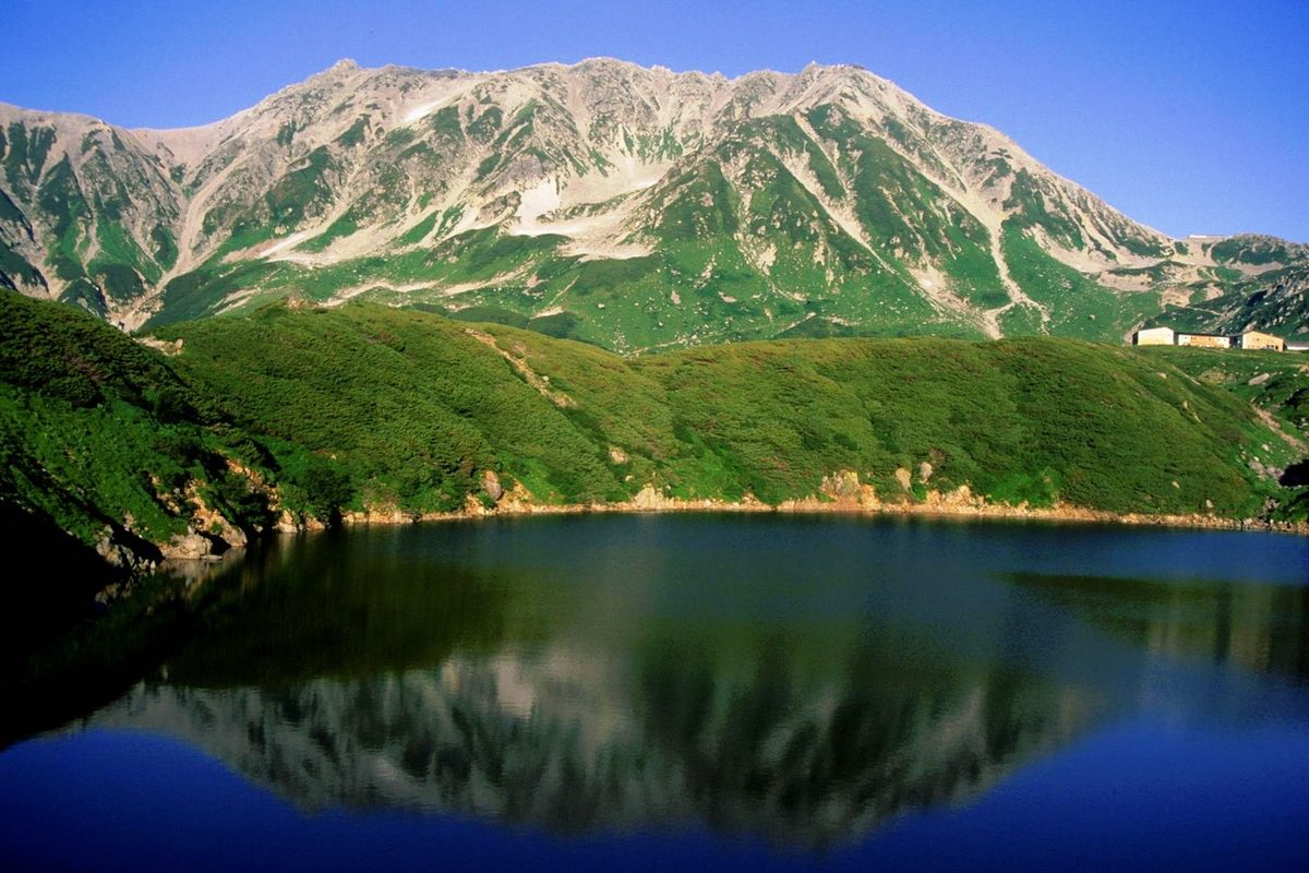

| Elevation | 3,015 m (9,892 ft) |
|---|---|
| Location | Toyama, Japan |
| Region | Chubu |
| Famous Mountains list | No. 49 of the 100 Famous Japanese Mountains (Nihon Hyaku-meizan) |
| Coordinates | 36.57583° N, 137.61972° E |
Mount Tate (立山, Tate-yama; IPA: [tateꜜjama]), also known as Tateyama, is a mountain located in the southeastern area of Toyama Prefecture, Japan. It is one of the tallest mountains in the Hida Mountains at 3,015 m (9,892 ft) and one of Japan's Three Holy Mountains (三霊山, Sanreizan) along with Mount Fuji and Mount Haku. Tateyama consists of three peaks: Ōnanjiyama (大汝山, 3,015 m), Oyama (雄山, 3,003 m), and Fuji-no-Oritate, (富士ノ折立, 2,999m) which form a ridge line. Tateyama is the tallest mountain in the Tateyama Mountain Range (立山連峰, Tateyama-renpō).
The Oyama Shrine is located on Oyama Peak.
Mount Tate was first climbed by Saeki no Ariyori, during Japan's Asuka period. The area was incorporated into the Chūbu-Sangaku National Park on 4 December 1934.
Name
The kanji name for the mountain is 立山, Tateyama in Japanese, which means "standing (立) or outstanding (顕)" and "mountain (山)," respectively. The Toyama Prefectural Government uses the name Mount Tateyama as an official translation of the Japanese mountain.
Geology
The mountain is primarily composed of granite and gneiss. However, located along the ridge and plateau, about 2 km (1.2 mi) west of the summit, there is a small andesite-dacite stratovolcano. This volcano has an elevation of 2,621 m (8,599 ft) and has minor eruptions, the latest occurring in 1961.
Location
Tateyama is located in southeastern Toyama Prefecture. At the base of the mountain is the town of Tateyama which is accessible by train from the prefecture's capital city, Toyama. Public transportation takes climbers and tourists as far as the Murodo Plateau Station at an elevation of 2,450 m (8,038 ft), where individuals may climb to the peak on foot. This location allows for the formation of snow and its accumulation, forming glaciers. These are the only glaciers identified in Japan so far.
Rivers
Mount Tate is the source of two rivers, both flowing to the Sea of Japan.
- Hayatsuki River
- Tsurugi Sawa, tributaries of the Kurobe River
Text adapted from the English Wikipedia article Mount Tate by its contributors, licensed CC BY-SA 4.0. Elevation and location facts cross-checked with Wikidata (CC0) and the 100 Famous Japanese Mountains list (Japanese Wikipedia, CC BY-SA 4.0).